Summit County Summer Hikes
Brittany De Graaf / Updated May 29, 2024
Breckenridge and greater Summit County have a seemingly endless trail system to enjoy all year round. Summer in the high country is the perfect time to get out and explore with the entire family. From kid-friendly 1.5 mile hikes to full afternoon 6.8 mile hikes, there is something for everyone. Whether you are headed out on a short or long hike, make sure to bring water, snacks, sunscreen, and a camera!
Learn more about a variety of local Summit County trails below.
IOWA HILL
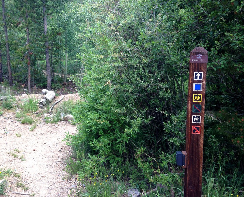
Trail name: Iowa Hill
Trail length: .7 mile loop
Trail difficulty: Easy
MEADOW CREEK TRAIL

Trail name: Meadow Creek Trail
Trail length: 8.4 miles out and back
Trail difficulty: Moderate
MOHAWK LAKES TRAIL
Trail Name: Mohawk Lakes
Trail Length: 6.8 miles round-trip (to Lower Mohawk)
Trail difficulty: Moderate
NORTH TENMILE TRAIL
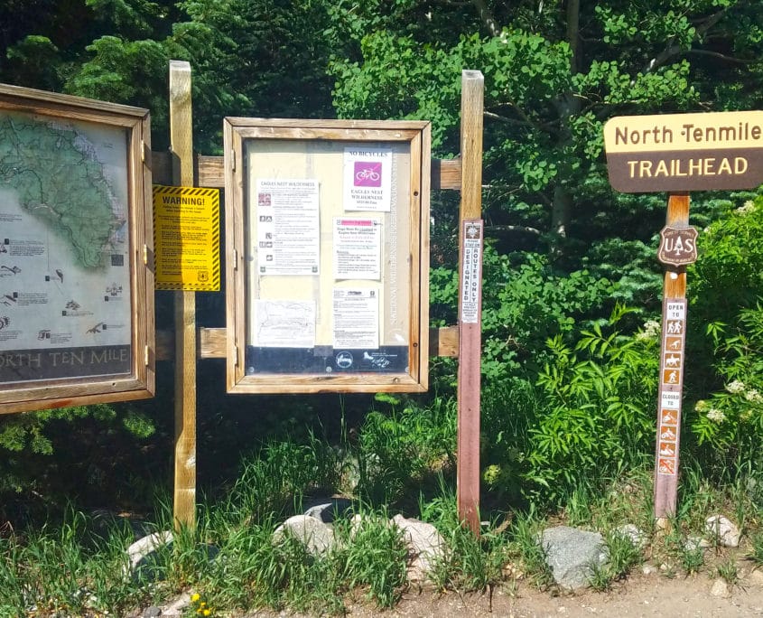
Trail name: North Tenmile Creek
Trail length: 6.5 miles, round trip
Trail difficulty: Moderate
PEAKS TRAIL

Trail name: Peaks Trail
Trail length: 15.3 one way
Trail difficulty: Hard
BURRO TRAIL

Trail Name: Burro Trail
Trail Length: 3.2 miles out
Trail difficulty: Moderate

