
The Ultimate Breckenridge Hiking Guide
By Cody Mendoza / July 28, 2026
The best way to experience Breckenridge is one trail at a time. Whether you’re setting out for a peaceful walk through golden aspens or tackling a high-alpine adventure, our favorite local hikes showcase everything that makes this mountain town so special. Use this guide as your starting point for discovering the very best hikes around Breckenridge.
Easy Trails:
- Blue River Trail: A 3-mile out-and-back trail with minimal elevation gain and an easy difficulty level. The trail runs alongside the Blue River, offering a flat, scenic route that’s highly accessible and ideal for a low-impact walk. The trailhead is located near the Stephen C. West Ice Arena, where ample parking is available.
- Burro Trail: A 6-mile out-and-back trail with 915 feet of elevation gain, considered easy to moderate difficulty. The route leads to Crystal Lake and offers year-round appeal, becoming a premier packed-powder snowshoeing destination during the winter months. The trailhead is located at the base of Peak 9 with plenty of parking available.
- Sawmill Reservoir: A 1.3-mile out-and-back trail with minimal elevation gain. This popular route loops around the reservoir and is ideal for summer and autumn hikes. The trail is closed to hikers and dogs during winter ski operations. The trailhead is located at the end of Sawmill Road with limited parking available.
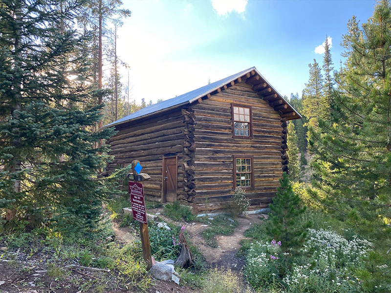
- Iowa Hill Trail: A 1.5-mile out-and-back trail with minimal elevation gain. The trail hosted remains of Breckenridge’s mining history from old cabins, sluice boxes, and the telltale signs of the use of hydraulics to extract the valuable gold that was found on this hill. This informative trail is perfect for a family stroll as it has informational signs and benches throughout. The trailhead is located on Airport Road across from the Breckenridge Terrace.
Looking Exclusively for Beginner-Friendly Paths?
If you are traveling with small children, older relatives, or just need a gentle acclimation path for your first 48 hours in town, explore our comprehensive Guide to the Best Easy Hikes in Breckenridge. It features detailed, family-focused trail maps, parking hacks, and altitude safety tips for the area’s most accessible scenic routes.
Moderate Trails:
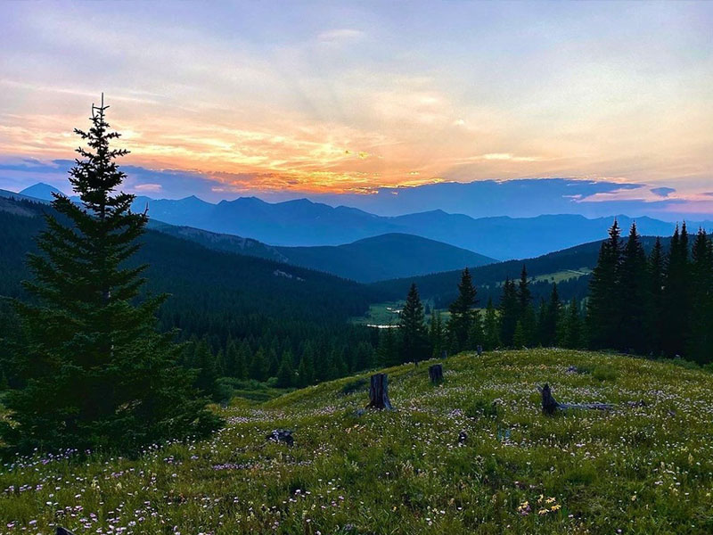
- Black Powder Pass: A 3.4-mile trail with 1,000 feet of elevation gain. Begin by hiking through wooded areas before emerging above tree line with breathtaking views. The final push follows a steady ascent to the Continental Divide saddle, rewarding hikers with unobstructed panoramic views of the Mosquito Mountain Range. The summit reaches more than 12,000 feet above sea level, so be sure to bring plenty of water and sunscreen.
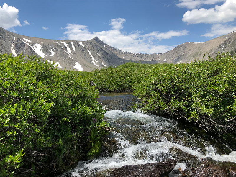
- Mohawk Lakes Trail: An 8.4-mile roundtrip trail with moderate to difficult terrain. One of Breckenridge’s premier alpine lake hikes, this scenic route winds past Continental Falls, Mayflower Lake, and historic 1860s gold mining ruins before arriving at the stunning Mohawk Lakes basin. Follow the blue diamond blazes for proper route navigation.
- Spruce Creek Trail: A 4.3-mile loop trail with moderate elevation gain, easy to moderate difficulty. The trail begins with a steady incline under tree cover and ends with a rocky decline. You can enjoy the babbling sounds of the creek while you hike and take in the distant mountain views on this Best of Breck favorite. The trailhead is located off of Spruce Creek Road with limited parking available.
- Baker’s Tank Trail: A 2.5-mile out-and-back trail with moderate elevation gain and easy to moderate difficulty. This singletrack winds through dense aspen groves, making it one of the best trails in Breckenridge for viewing vibrant fall colors. The trail is also popular with downhill mountain bikers, so be sure to practice proper trail etiquette by stepping aside and allowing descending riders to pass. The trailhead is located off Boreas Pass Road with limited parking available.
- McCullough Gulch Trail: A 6.4-mile out-and-back trail with 1,600 feet of elevation gain that is surrounded by stunning rock faces. Beautiful lakes await those who can make it to the top, The trailhead is located off of County Road 851 with limited parking available. The road to the trailhead closes seasonally over the winter and fall, so if you are planning to hike this trail during that time plan to add on an additional 1.5 miles.
- Aspen Alley: A 2.9-mile trail with easy to moderate terrain. This smooth path winds through dense groves of aspen trees, creating a stunning golden canopy each fall before ending at the historic Breckenridge Sawmill Museum. To avoid crowds, consider visiting on a weekday.
Difficult Trails:
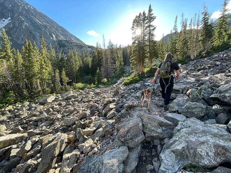
These trails should be approached with planning and caution. Being in good physical shape is a must for these longer hikes which often get close to and above 13,000 ft above sea level (with one of the hikes on this list reaching 14,000 ft!).
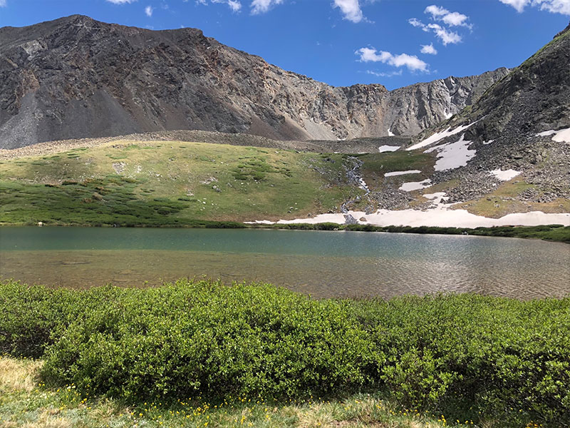
- Crystal Lake Trail: A 9.5-mile out-and-back trail with more than 2,500 feet of elevation gain and a rewarding alpine lake view (or dip) at the top. Much of the hike is above tree line, offering unforgettable views from more than 12,000 feet. Start early and keep an eye on the weather so you can soak in the scenery before those typical afternoon mountain storms roll through. The trailhead is located off County Road 850 with limited parking available.
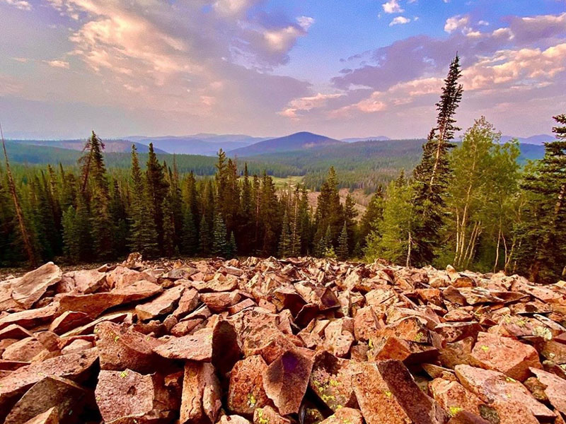
- Mineral Hill Trail: A 4.7-mile out-and-back trail with significant elevation gain and difficult terrain. This steep singletrack winds through the protected forests of the historic Golden Horseshoe mining district before opening up to expansive summit views. The trailhead is located off Boreas Pass Road with limited parking available.
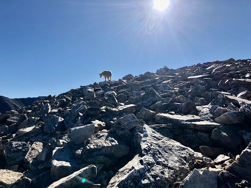
- Quandary Peak Trail: This is a Breckenridge and Colorado classic. This “14er” is one of 52 peaks in the state rising above 14,000 feet. This 6.75-mile out-and-back trail climbs 3,326 vertical feet to the summit. Due to its popularity, trailhead parking is limited and managed through a reservation system during peak season. See the information below for parking and shuttle details.
- Quandary Parking & Shuttle Info
Planning ahead is essential if you’re hiking Quandary Peak during the busy summer season. From June 14 through Sept. 14, trailhead parking requires a reservation, with permits priced at $30 Monday through Thursday and $55 Friday through Sunday.Looking to save on parking? The Quandary Peak hiker shuttle is an affordable and convenient alternative. Round-trip fares are $7 per person, with buses departing every 30 to 60 minutes from the South Gondola parking structure in downtown Breckenridge. Reserving your parking permit or shuttle in advance is strongly recommended, especially on weekends and holidays.
The views don’t have to stop when you’ve finished your hike! Reward yourself with a refreshing brew: Top 10 Brews with the Best Views.